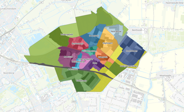
New neighborhood classification now visible in City Atlas
Zoetermeer has a new district and neighborhood classification. This can now be viewed in the City Atlas on the municipality's website. Here you can easily look up in which district and neighborhood your address is located.
The college decided to name more, and smaller, neighborhoods and districts to better distinguish between the different housing situations in an area. The now 25-year-old neighborhood classification, was too coarse-grained for a good view of population figures and, for example, the socioeconomic situation of a neighborhood.
The new classification takes into account how neighborhood names were already popularly used. The classification is also now more consistent with CBS (Central Bureau of Statistics) guidelines.
Want to know if anything has changed for you? Type in your address in the search field in the City Atlas.